Steve and I are the ones who complete the weekly marine survey. There are two locations in which this happens. We do each location every other week on Thursdays. So we do one every week. We just alternate between Camp Reef and South Shore. Camp Reef has two transects, West and East. We swim from shore out towards a pole that sticks out of the ocean and following buoys that are suspended from dead coral.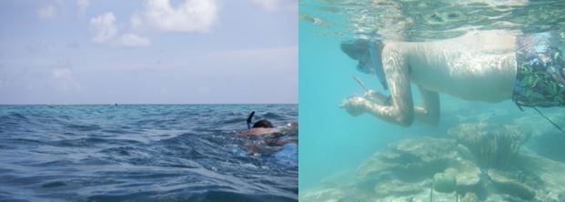
When we get to the pole we keep going until we hit the edge of the channel. The island is made of coral. Back in the day, when the military wanted to make it bigger they dredged the coral surrounding the island and piled in it up to create a larger island. This has left a large ditch around the island – the channel. That is the end of the West transect of Camp Reef. We follow the channel to the East until we find the buoy that starts the East transect. We head directly to shore. That’s Camp Reef. The other location is South Shore. The start of that transect is the second to last taller pole and we head West until we find the weird pipe that lays on the bottom of the ocean. Then we’re done.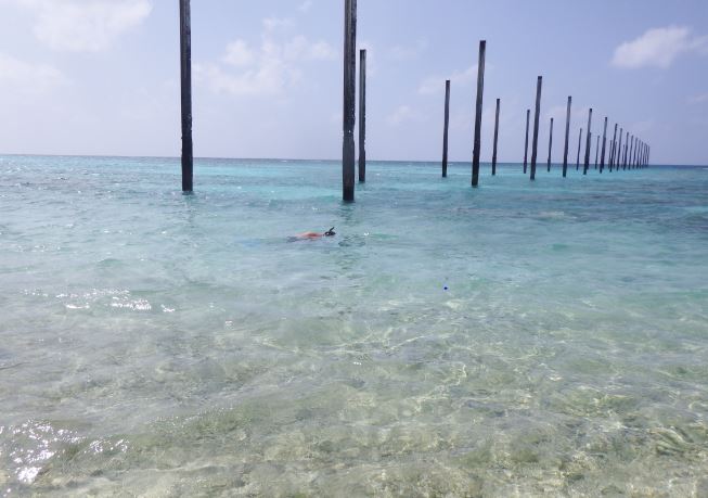
While on the transects, we count fish and the different species of fish. We use a clipboard with special paper that is waterproof. It’s like a spreadsheet.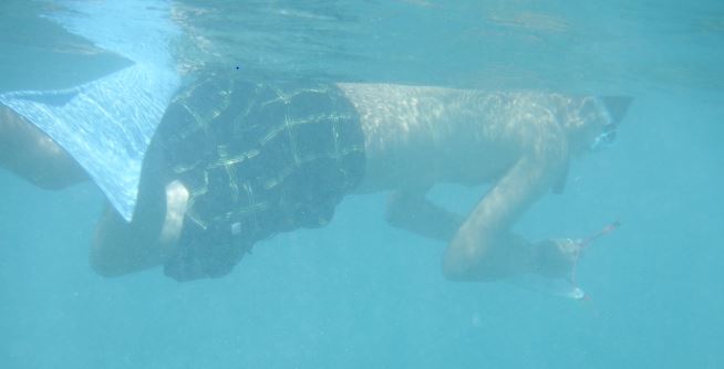
The paper lists the most common fish seen on these surveys and we tally the number of fish of that kind as we see them. We have seen some pretty cool species. Lots of parrot fish and butterfly fish. And this cool nudibranch.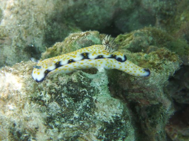
It’s pretty cool that Steve and I are required to snorkel in these amazing waters to do our jobs!
- Comment
- Reblog
-
Subscribe
Subscribed
Already have a WordPress.com account? Log in now.

One fish. Two fish. Red fish. Blue fish. Black fish. Blue fish. Old fish. New fish.
Wet work is Kool, as long as it is not from sweating. Why is the pipe weird? what were the tall poles for?
Why is there a pipe in the ocean? That’s just weird. I have no idea what the original purpose of the poles were, but we have put them to good use!